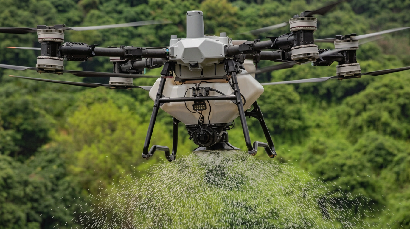
Aerial pasture seeding for western Queensland stations
Put pasture seed into large, scrubby and difficult country before useful early storm rain — with mapped drone spreading that reduces ground access, protects your crew and targets the hectares that matter most.
The storm can arrive before the machinery can
On a cattle station, the best pasture seeding opportunity may be separated from the workshop by kilometres of rough tracks, creek crossings, scrub and broken country. A useful early storm can also close that access just when seed needs to be on the ground. Drone aerial seeding changes the access problem: the treatment area is mapped, the seed is loaded at an assessed operating point, and planned flight lines carry it across the selected country.
This does not make every paddock a candidate for broadcast seeding. Seed still needs the right soil, moisture, temperature, seed-to-soil contact and relief from excessive competition and grazing. In dense scrub, seed also needs openings through which it can reach the soil. The value of a drone is in reaching and treating suitable country at the right time — not in pretending establishment risk has disappeared.
Queensland agricultural demonstrations have already used drone broadcasting to place pasture legume seed into a freshly burnt paddock before forecast storm rain. That is a useful example of the method's strength: preparation, seed selection and timing still drive the result, while the drone provides fast access to the planned area.
Built for scale, access and narrow weather windows
Treat large areas strategically
Map the station, divide work into practical flight zones and prioritise the country with the strongest production potential. This makes a large program manageable when the weather window is short.
Reach country machinery cannot
Gullies, broken slopes, creek lines, boggy flats and rough station tracks can make ground access slow or unsafe. The aircraft works above the terrain while the crew operates from an assessed launch area.
Reduce exposure to dangerous terrain
Keeping tractors, bikes and people out of unstable, steep or heavily obstructed country can reduce the time spent negotiating rollover hazards, washouts and hidden obstacles.
Be ready for the rain window
Seed, maps and logistics can be prepared before the season turns. When a useful early storm pattern develops, deployment is not held up by building ground access across every treatment zone.
Select the right hectares, not just the easiest hectares
Large stations do not need to treat every hectare at once. Mapping allows a program to focus first on country near water, grazing areas with realistic establishment potential, selected firebreaks or cleared openings, and zones where machinery access would absorb too much time or expose people to unnecessary risk.
In scrubland, canopy cover must be assessed honestly. Where foliage is too dense, seed may lodge above the soil and fail. Where there are usable openings, burnt strips or prepared zones, a spreading drone may provide access without cutting new tracks through the whole paddock. Steep slopes and broken terrain can also be mapped with exclusion zones around powerlines, homesteads, stock and other hazards.
This targeted approach can make the first stage of a pasture improvement program more practical: prove establishment on suitable areas, monitor the response and use that evidence to decide where the next investment belongs.
Where the return can come from
High return on investment is possible when better pasture establishment creates more useful grazing and the drone avoids a costly access problem. It is not a guaranteed rate or a single headline number.
- Getting selected seed down inside a valuable rain window
- Avoiding new tracks or repeated machinery travel into rough country
- Reducing crew exposure on steep, washed-out or unstable ground
- Treating priority zones instead of spending evenly across weak country
- Using mapped records to review establishment and plan the next stage
- Creating productive pasture where the grazing value justifies establishment costs
A practical aerial seeding plan
Define the pasture outcome
Identify the paddocks, land types and grazing objective. Confirm the seed mix and sowing rate with a local agronomist or pasture adviser who understands the district.
Assess access and establishment risk
Review existing pasture competition, ground cover, canopy density, soil condition, obstacles, livestock, water points and suitable operating locations. Broadcasting onto unprepared country is not automatically the right answer.
Build and calibrate the mission
Map treatment boundaries, exclusions and priority zones. The spreading system is calibrated for the seed's size, density and target rate before repeatable flight lines are set.
Match deployment to useful rain
Use the forecast, current soil moisture and species requirements to choose the window. Early planning matters because seed should be ready before suitable germinating rain, not rushed out after access has already closed.
Protect and check establishment
Record the treated area, manage grazing pressure and inspect germination after rain. Follow-up observations help distinguish a spreading issue from rainfall, competition, soil or seed-to-soil contact limitations.
Calculate the opportunity for your station
The honest calculation compares the full establishment cost with the value of additional usable grazing over time. Keep drone application, seed, preparation and follow-up management on the cost side; keep avoided access work and the realistic value of improved carrying capacity or animal performance on the benefit side.
Costs to include
- —Seed and inoculation or treatment where required
- —Drone mobilisation and spreading
- —Any fire, competition or seedbed preparation
- —Grazing deferment and follow-up management
- —Monitoring and possible follow-up treatment
Value to test
- +Additional productive grazing days or carrying capacity
- +Potential improvement in liveweight performance
- +Avoided track, machinery and labour costs
- +Value of acting within the available rain window
- +Safer access and less exposure for operators
Pasture improvement can deliver a strong long-term return when establishment succeeds, but payback varies by land type, species, season and cattle enterprise. We recommend testing your assumptions with your adviser rather than relying on a generic return figure.
Drone pasture seeding questions
What is aerial seeding?
Aerial seeding broadcasts seed from the air over a mapped treatment area. An agricultural spreading drone can follow planned flight lines and distribute a calibrated seed mix without driving machinery across the paddock.
When should pasture seed be spread before the wet season?
The aim is to have suitable seed in place immediately before useful germinating rain, not simply before any shower. The right window depends on the species, soil moisture, follow-up rain outlook and paddock preparation. Plan the operation early, then make the final timing decision with local agronomic and weather advice.
Can a drone seed steep, scrubby or difficult country?
Often, yes. A drone can work above gullies, slopes, rough ground and selected openings where vehicle access is unsafe or impractical. Dense tree canopy can prevent seed reaching the soil, so imagery and an on-site assessment are needed before recommending a treatment area.
How much land can be seeded by drone?
Daily coverage varies with seed rate, payload, paddock shape, terrain, refill access, flying conditions and travel between treatment zones. Large areas can be divided into mapped missions and prioritised so the most valuable country is treated in the available weather window.
Which pasture seed should I use?
Seed must suit the land type, rainfall, soil constraints, grazing system and intended outcome. FNQ Agrispray can plan the spreading operation, but species selection and establishment advice should come from a local agronomist or pasture adviser familiar with the district.
Does aerial pasture seeding guarantee germination?
No. Establishment depends on viable seed, seed-to-soil contact, preparation, competition, soil moisture, suitable temperatures, follow-up rain and grazing management. Drone spreading solves access and timing problems; it does not remove agronomic risk.
What determines the cost of drone pasture seeding?
Pricing depends on the mapped area, seed rate and flow characteristics, terrain, obstacles, mobilisation distance, refill logistics and the number of separate treatment zones. A useful quote starts with the station location, paddock maps, target hectares and proposed seed mix.
Australian pasture establishment references
The planning guidance above is informed by Queensland pasture research and extension material. These sources reinforce that timing, land type, competition, preparation and follow-up rain all affect establishment.
Plan before the first useful storms
Talk to FNQ Agrispray about the station, target country, seed mix and operating window. We will assess whether drone spreading is practical and build a clear mission around the job.